|
| Hike occurred on September 5th, 6th, 7th, & 8th, 2013 |
Massachusetts Appalachian Trail section hike
By "Timex"
Thursday, September 5th:
Greylock Community Club, North Adams, MA to
Crystal Mountain Campsite
18.6 total miles for the day - rough map completed after the fact
Mountains climbed: Mt Williams (2951 ft), Mt Greylock (3491 ft), Saddleball Mountain (3247 ft), & North Mountain (2182 ft).
Summary: I started Day 1 around 8:15am from the community center. I struggled to make good time as I hiked that morning since it was mostly climbing upward and I hadn't yet learned the many ways to make my pack most comfortable. I reached the Greylock summit around noon. I then headed to Crystal Mountain Campsite, reaching the site around 6:30pm. I set up my hammock, made dinner, greeted a group of 12+ backpacking college students, and got to sleep around 9pm.
Pictures:
 |
| View from Williams |
 |
| View from Williams |
 |
| Ceiling of the tower's room |
 |
| Greylock's observation tower |
 |
| Adorable Praying Mantis |
 |
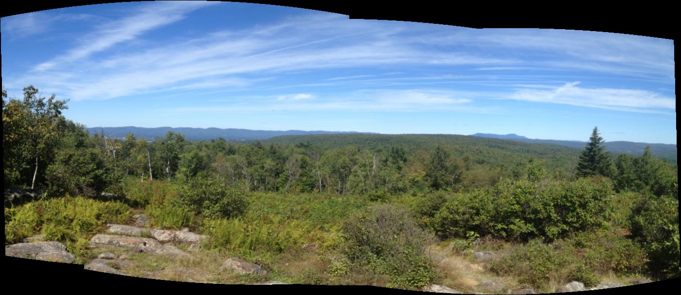
| View from Greylock |
 |
| Metal casting of the mountain range including Greylock |
Friday, September 6th:
Crystal Mountain Campsite to
Upper Goose Pond Cabin
27.3 total miles for the day - rough map completed after the fact
Mountains climbed: Tully Mountain (2070 ft), Warner Hill (2050 ft), Bald Top (2040 ft), Walling Mountain (2200 ft), & Becket Mountain (2178 ft).
Summary: I was woken up multiple times throughout the night by the cold (around 30 degrees) and finally got up for good at 5:40am on the morning of Day 2. I packed up while shaking uncontrollably from the cold and was on the trail by 6:40am. I hiked the 3-4 miles into Dalton, stopping at their Cumberland Farms for skin protectant (which I had stupidly neglected to bring), coffee, and a danish. This helped warm me up and I headed off into the mountains again. I booked it all day and made some serious miles, though my body made me pay in various petty ways. I arrived at Upper Goose Pond Cabin around 6:30pm and almost wept at the sight of the cabin, the wonderfully padded bunks, and real furniture. The week's caretaker, Kevin, kindly heated up some water for my freeze dried Pad Thai (which was delicious) which I enjoyed while chatting with other hikers. I met a married couple from California and Indiana who met in the military and are now thru-hiking from ME to GA (SOBO - or south bound) after seeing a documentary about it on TV. I also met a 20-something year old guy who's doing a 2-3 week SOBO hike, expecting to end around New York or New Jersey. I gratefully ate cookies around a campfire for a while before heading to bed at 9pm.
Pictures:
 |
View from Warner Hill
 |
| Greylock from Warner Hill |
|
 |
| Selfie with me and Mt Greylock |
 |
| Cabin's privy |
 |
| Beautiful 5-star hotel Upper Goose Pond Cabin. Pancakes and coffee each morning, courtesy of Kevin, the week's caretaker. |
 |
| Access to a boat dock (with boat) and beach! |
 |
| Second floor with bunks with 3-inch thick mattresses! Just what I needed. |
Saturday, September 7th:
Upper Goose Pond Cabin to
Tom Leonard Shelter
21.8 total miles for the day - rough map completed after the fact
Mountains climbed: Baldy Mountain (1873 ft) & Cobble Hill (1358 ft).
Summary: I started Day 3 at 6:15am. I woke up, packed up my bag, ate a tall stack of chocolate chip pancakes and coffee (courtesy of Kevin), and hit the trail by 7:15am. The terrain for day 3 was mostly flat(ish) and allowed me to make good miles early in the day. The final push to the shelter was a steep mile of uphill but I made it to the shelter by 5:30pm. Once there, I slung my hammock from the rafters of the shelter's loft, cooked my dinner, and had some great conversations with the tent platform's occupant, Kathy. Turns out, Kathy is a recently retired Hamden High School (CT) media specialist/librarian; we had great times talking about hiking, reading, books, and various social justice issues. I turned in for the night around 9pm.
Pictures:
 |
| Cooper Brook beaver pond |
 |
| Me and Cooper Brook beaver pond |
 |
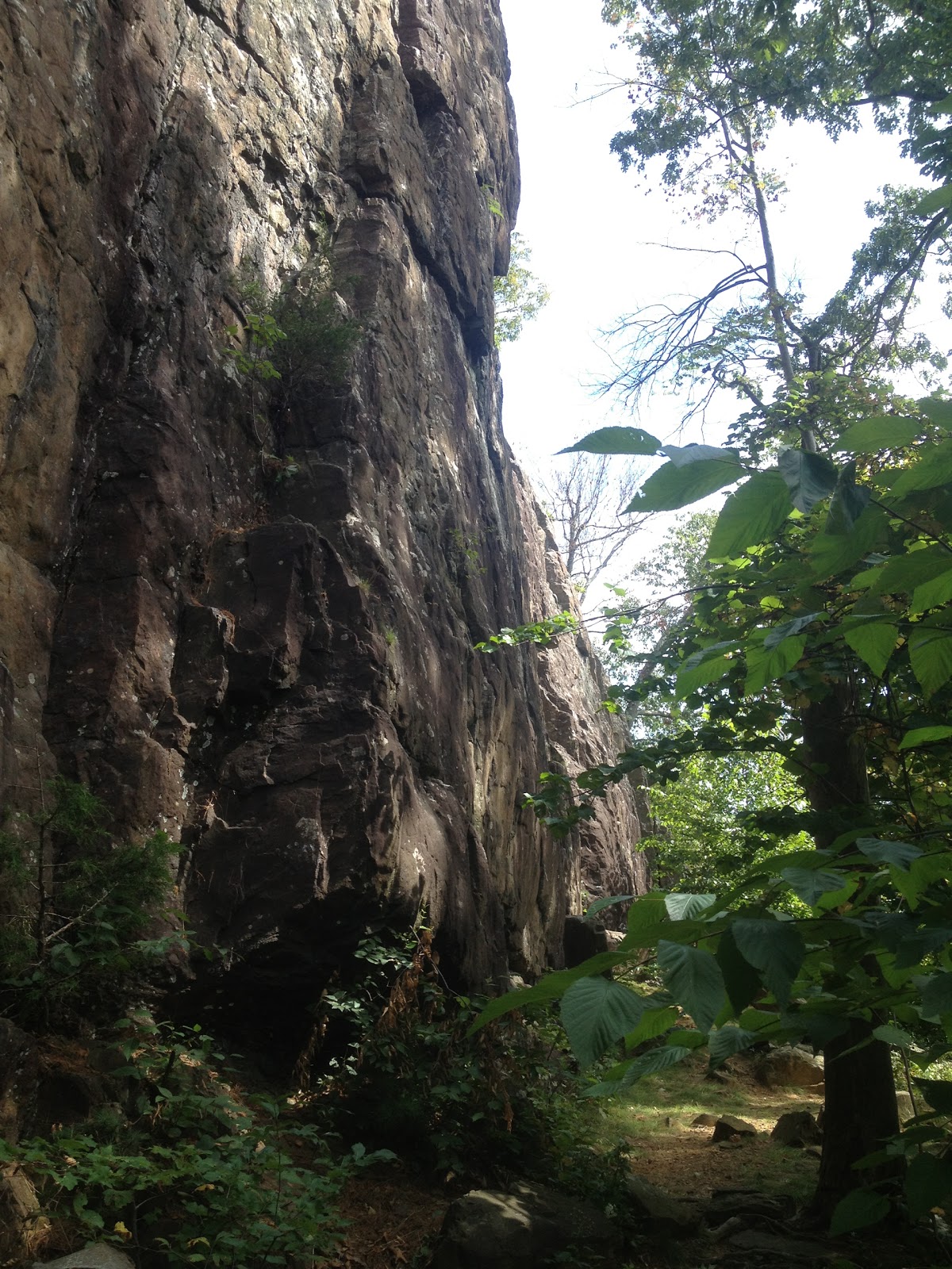
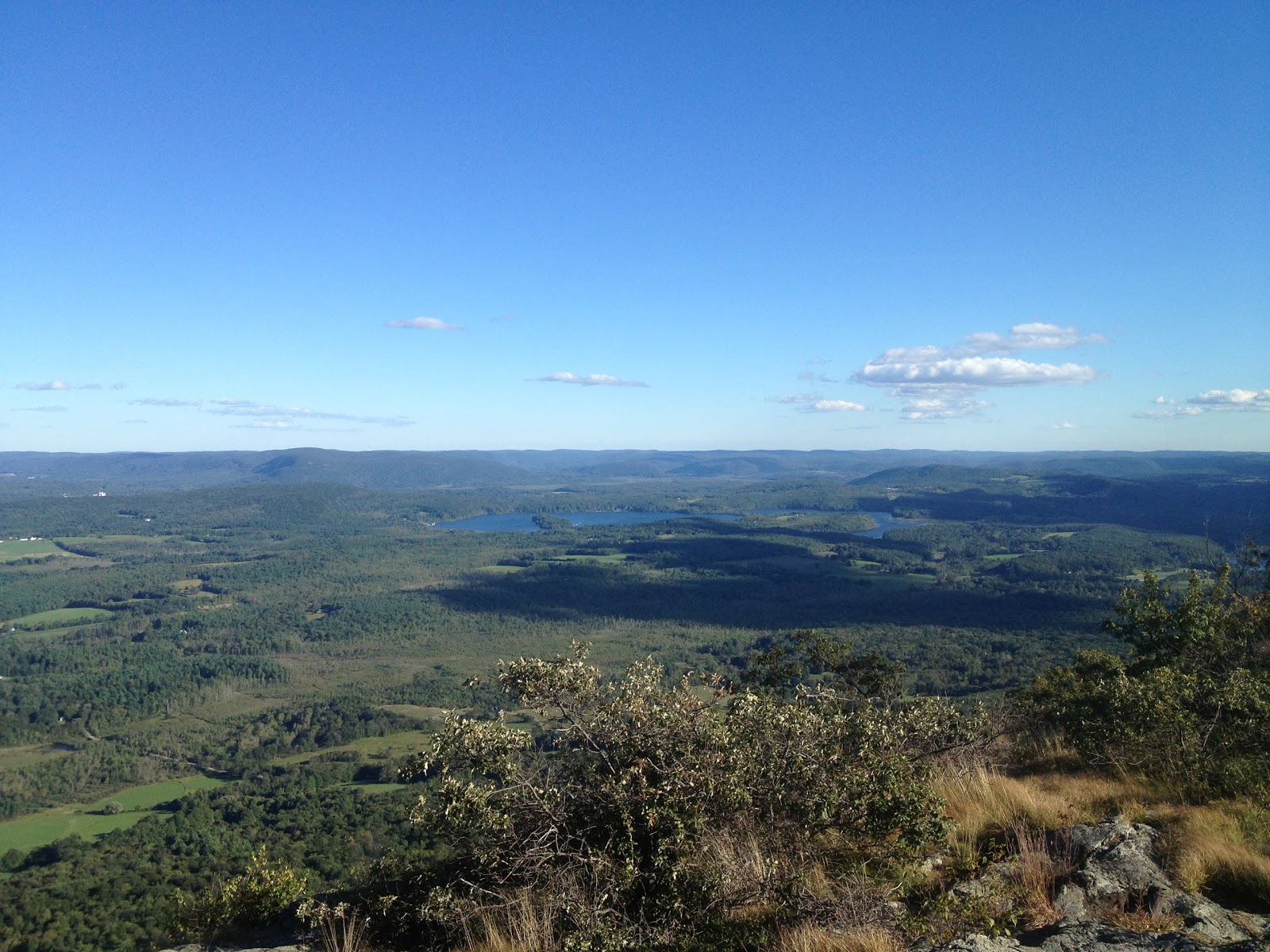
| View from the Ledges including East Mountain and Mt Everett State Forest with Catskills in the background |
 |
| Look, I made a fire! |
Sunday, September 8th:
Tom Leonard Shelter to
Conn. 41/Undermountain Trail
24.3 total miles for the day - rough map completed after the fact
Mountains climbed: East Mountain (1800 ft), June Mountain (1220 ft), Jug End Mountain (1750 ft), Mt Bushnell (1834 ft), Mt Everett (2602 ft), & Race Mountain (2372 ft).
Summary: I was woken up around 4:45am by a screech owl screaming. Thankfully, it followed up the screaming with hooing so I knew it was an owl, not a murderer. I woke up for Day 4 at 6:15am. I packed up my hammock, got my bag ready to go, and said farewell to Kathy. She gave me her email in the hopes that we can get coffee back in CT sometime later this fall. I started hiking at 7:30am. I hadn't expected day 4's hike to be quite so steep and mountainous. My miles seemed to take forever. I also managed to sprain my right ankle at 8am and proceeded to sprain it at least half a dozen more times throughout the day. I made the summit of Race Mountain around 5:30pm, Sage's Ravine around 6:30pm, Paradise Lane trail around 6:45pm, Undermountain Trail by 7:30pm, and the parking lot by Conn. 41 at 8:15pm. It was a very long day but I was glad to be done! The next day, I sought out all the pizza, Chinese food, and beer I could fit in my stomach.
Total miles=92 miles in 4 days