|
| This hike occurred on August 4, 2013 |
Trail Heads:
West Peak Dr., Meriden, CT - Parking: Using the Hubbard Park auto road, we parked one car at the top of the Hanging Hills' West Peak.
620 Edgewood Rd, Berlin, CT - Parking: On the side of Edgewood Road, there is parking for around half a dozen cars to park off-road.
Length/Distance: According the Connecticut Walk book, the route was 3.1 miles. According to my GPS tracking program, our route was 5.91 miles, which included many, many non-Blue trail miles.
Summary: We began our hike from West Peak. It was a perfect day; it was in the low 70's, dry, and sunny. Soon after entering the woods, there was a beautiful view. You could see the UConn Health Center in Farmington.
At the feet of Sleeping Giant, you could see the slight shimmer of Long Island Sound.
There was a fire ring near the peak with what appeared to be two burned pillows.
From here, the trail entered the woods. We followed the blue trail for a while before we reached a fallen tree and realized that the blue markings had just petered out.
We went back up the trail a little bit and found the many (old) blue markings we'd been following.
From this, we were forced to conclude that the trail must be the correct one so we continued, even though the trail was slathered in off-white trail markings. As we suspected, it became evident that the white blazes were covering over blue blazes.
We were passed by 6-8 ATVs on this trail.
Then we came to a wonderful, three-way intersection that confused us to no end. There was blue trail markings covered over by white, indicating the trail turned right (the opposite direction as Edgewood Road).
There was another tree indicating that the blue trail was indeed the way we had just come, the black/white trail was to the left (our straight), and the white trail went to our left.
We followed the "blue" trail and found more blue markers leading us to the left.
We found remnants of a fire ring.
Near here, we saw a black/white marking that had clearly covered over blue.
We followed the blue markings down a steep incline; the rocks were very unstable and we each nearly fell at least once.
And then this wonderful trail ended on a purple trail.
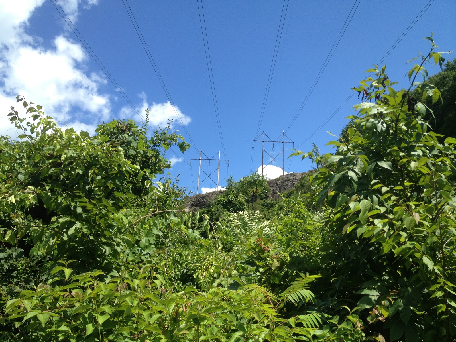
We followed the purple trail to the right; it soon intersected with the black trail. The black trail appeared to head towards Edgewood Rd, while Violet went in the wrong direction. So we followed the black trail. It went directly under the power lines.
We could see some kind of parking area off of Rt-364.
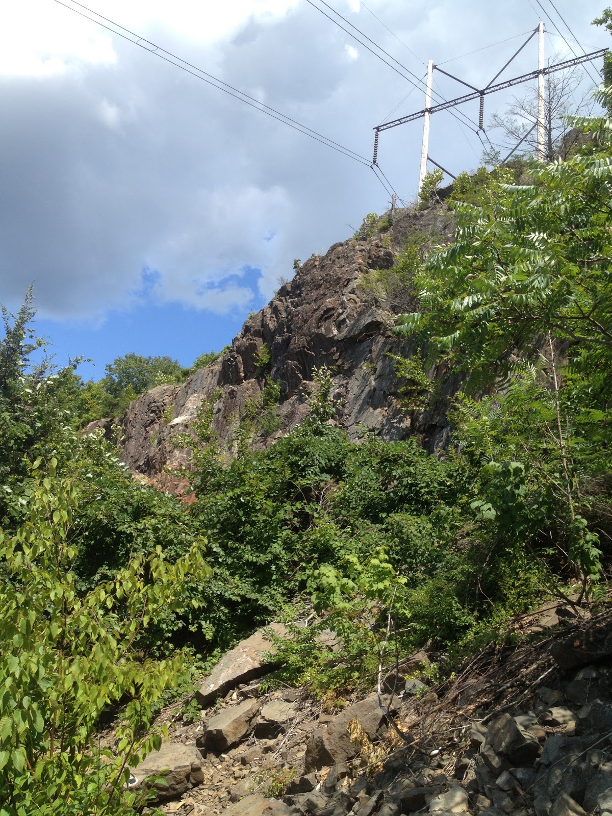
The black trail leads you up this.
Much of the trail was steep and over unstable rock.
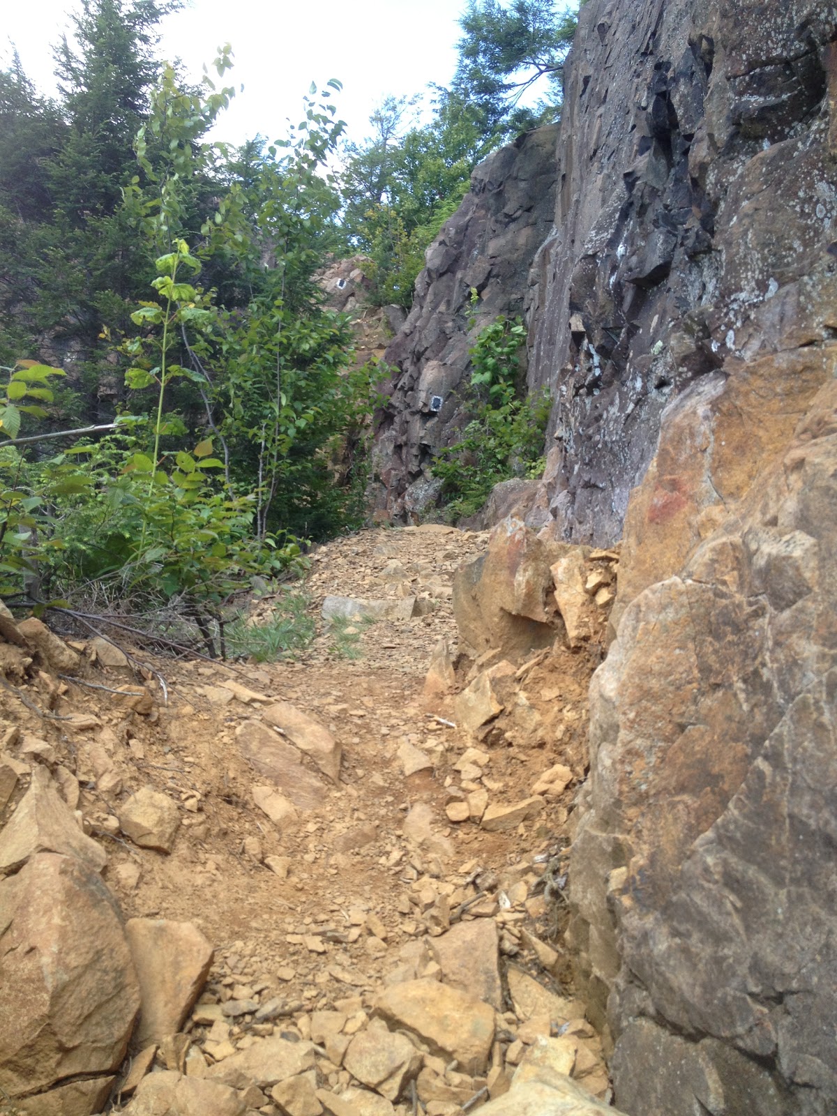
The last bit of the assent took us through a narrow passage.
There was quite a view from the top.
After this, it got really frustrating. The trail went up and to the right (we needed to go straight but there was no way to do that). We tried going to the left for a bit (unmarked trail), hoping it would straighten out; it didn't and we hiked back to our starting point. We then went to the right, following the black trail. Turns out, it lead us back to that horribly confusing intersection. At this point, we said forget this and, using GPS, tromped into the woods to find our own way. We went through the woods and came upon an old campsite.
People had left bed rolls and a tent.
Nearby, there was a tool meant to be dragged behind an ATV to clear out an area for camping.
The area had been flattened using it.
After thrashing around in the woods for a bit, heading for the road, we saw a gravel road off to our left, under the powerlines. We made our way through some of the harshest prickers we've seen so far (and gave some blood) to get to the road. On the road, we saw some tall purple flowers that could have been Common Lupine (Lupinus polyphyllus) or Lupinus Perennis.
We followed this down to Edgewood Road (going over a small section of someone's private property) and walked maybe 0.8 miles back to the car.
This was the worst hike so far, in regards to trail markings and final result. In the future, we will have to hike from Edgewood Road back up the blue trail to see where we went wrong and if it was more us getting lost or a poorly marked trail.