|
| This hike occurred on June 23, 2013 |
Trail heads:
705 Wallingford Rd., Durham, CT - Parking: On Wallingford Rd/Rt-68, where the blue trail enters the woods, there was side-of-the-road parking spots with enough space to park 2-3 cars.
Meriden Rd. (Rt-66) & Baileyville Rd. (Rt-147), Middlefield, CT - Parking: Right after Meriden Rd. (Rt-66) turns into a divided highway, there is a parking lot on the right hand side that fits 8-12 cars. We hiked from here, based on the elevation of both parking locations. It was a good choice.
Length/Distance: According to the CT Walk book, the hike was 5.7 miles. According to my GPS tracking program, our route was 8.15 miles. This is a discrepancy of almost 2-1/2 miles. We lost the trail once for maybe 100 yards. The only other possible addition would be if the CT Walk book only counted from the Rt-68 to the intersection of Rt-66/Rt-147 and not the parking lot on Rt-66. Even so, that was only 0.8 miles from Rt-66's parking lot to where the blue trail entered the woods at the intersection of Rt-66/Rt-147; even assuming that difference, the mileage in the book was still off by over 1-1/2 miles. This difference in mileage lead to a number of issues on this hike.
Summary: We started from the Rt-66 parking lot as we had reviewed Google's topographical maps and decided it would be less steep from this side. We followed the Blue-Red from the parking area to the intersection with the Blue trail and followed the Blue trail to the right.
We then walked for approximately 8/10ths of a mile; some areas of the path were very muddy.
The trail emerging next to Guida's picnic area.
We followed the blue trail markings indicating we should cross over Rt-66.
There is a crosswalk which was very helpful as Rt-66 is a busy road. After crossing the road, other blue trail markings were visible.
The trail entered the woods soon after crossing Rt-66. It turns out there was parking available on the side of the road for maybe 2-3 cars.
As the trail entered the woods, there was a trail map posted up with a warning about the cliffs.
When we entered the woods, we scared a deer and a newborn fawn. They were adorable. The walk started with a gentle uphill slope. After a bit, the trail went through a clearing created by the overhead power lines.
There were some Tartarian Honeysuckle (Lonicera tatarica) shrubs with colorful, albeit toxic, berries.
There were also some nice purple flowers.
As well as some unripe berries (probably Common Blackberries [
Rubus fruticosus]).
The view under the wires was nice.
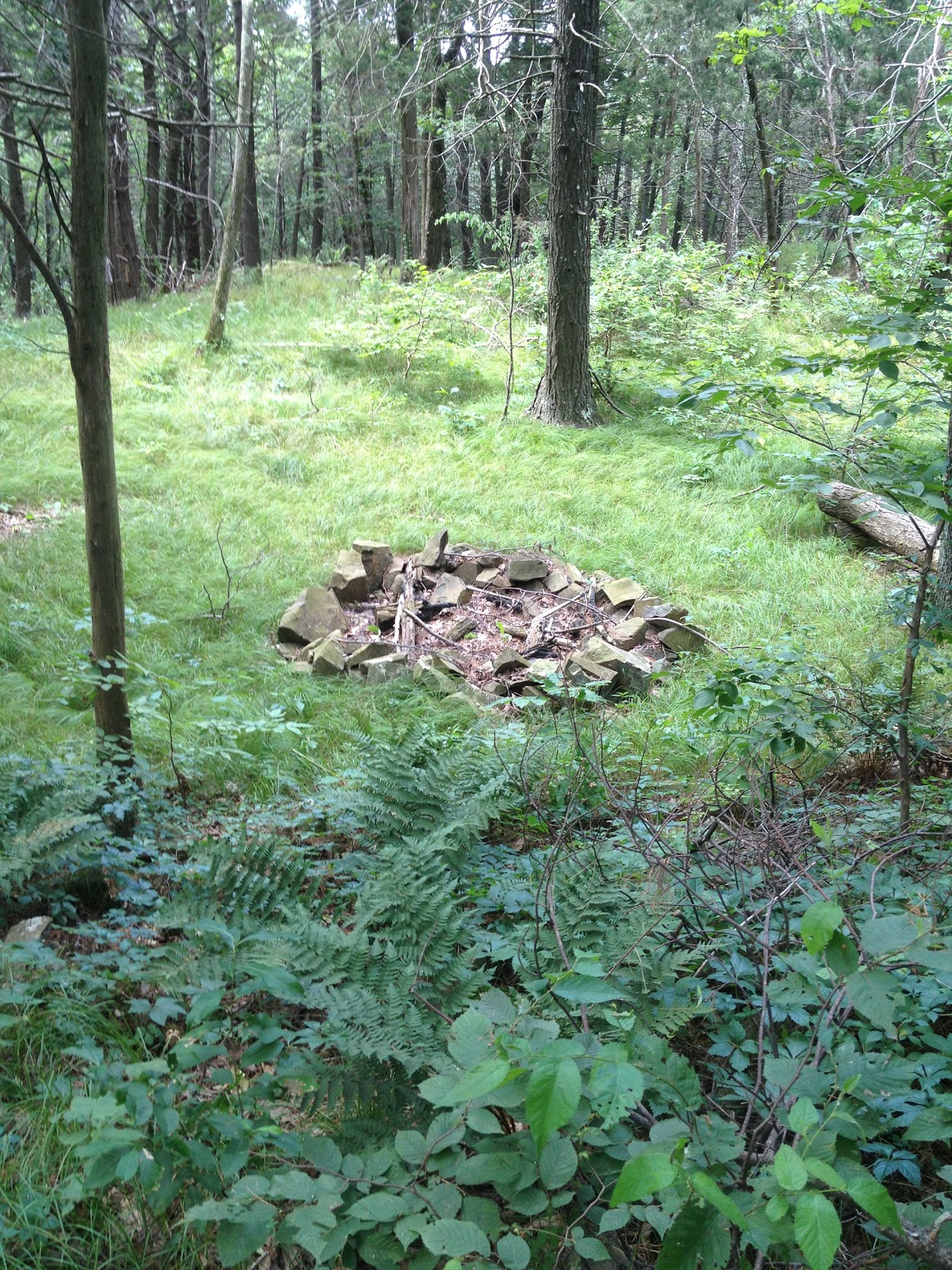
The path continued to climb. The path crossed by a stone fireplace. We saw a family with three children resting near here.
We found a Northern Green Frog (Rana clamitans melanota) on the side of the trail.
We crossed over a dirt road...
And as we hiked the incline, we could see brief glimpses of Black Pond.
The trail then opened up to the first of many look-out points.
We continued along the ridge, taking more pictures as we progressed.
You could see the next section of trail and cliffs we will be hiking from the top of Beseck Ridge.
Lots of marshland!
We saw some Ground Juniper (Juniperus communis) with berries.
We also saw a Common Daisy (Chrysanthemum leucanthemum), which is apparently an invasive species.
Another Ground Juniper had figured out a creative way to stay atop the cliffs.
The cliffs were beautiful.
There was a Little League game occurring on a distant field but the sound traveled quite a bit.
As we began hiking again, we saw a spectacular mushroom.
We also found some Spotted Knapweed (Centaurea biebersteinii).
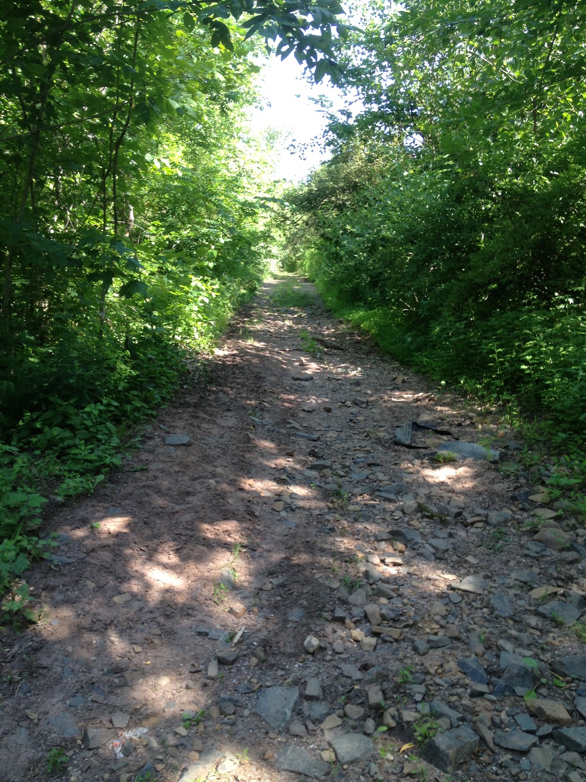
This area of the trail had a lot of ups and downs, as well as many, many dirt biking/ATV trails crisscrossing the blue trail. The wheel tracks made large puddles and ponds on the trail. Most of these were easy to go around. We kept hearing bikes in the distance. At one point, we had stopped just beyond a curve in the trail and we heard a bike approaching very quickly. We shouted out and the dirt biker was able to hear us and slow down, preventing a collision. It was clear the dirt biker wasn't the first biker to be using parts of the blue trail. We eventually made it to the edge of Powder Ridge.
The dirt biker had run over a dragonfly and we tried to help it find a new perch so it could have a fighting chance (it was being overrun by ants when we found it).
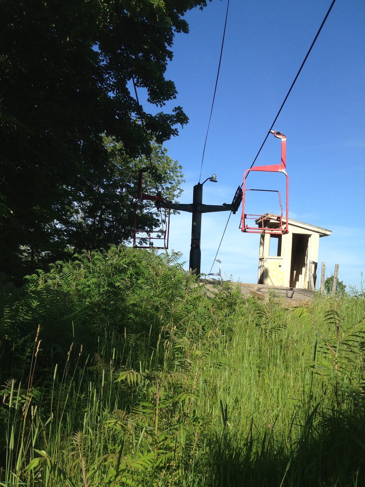
The empty, gutted buildings made for an odd, vintage look to the area. I used to ski here as a child and it was odd being in waist high grass looking at the remains of a ski resort.
According to the internet (and some news articles), it sounds like the same folks who run Brownstone Exploration Park bought Powder Ridge and will be reopening it this next winter. I have mixed feelings about this. While I'm delighted someone bought the property and plan to resurrect Powder Ridge, I had a season pass to Brownstone in 2010 and saw the owners verbally abuse their staff on numerous occasions. After that, I refused to patronize their business.
By this stage of the hike, we barely had any water left and were very tired. There was a look-out point and we could see two tantalizingly large blue pools, the second of which is part of Meriden YMCA (Mountain Mist Outdoor Center).
The blue trail markings were easy to follow around the ski resort and we headed towards where the trail entered the woods. Though I got some really nice pictures before we left.
Further down the trail, there was another look-out spot where we could see a pond.
In this next section of hike, we did lose the trail for maybe 100 yards (it was downhill and then we had to hike back up to find the trail again). The "trail" appeared to go to the left, while the blue trail went to the right.
However because of the angle of the turn, you couldn't see the blue markings on the tree indicating a turn (left hand side of the picture). We highly recommend they add an arrow or some type of sign to indicate the trail change.
After this, the trail was not very notable. It was a walk through forest for the most part. There were some ups and downs but the trail was generally flat. After the trail turned, someone (I assume young people) had marked a trail for friends follow to bring them to a bonfire and a look-out point.
The person had marked trees underneath the blue blaze with a blue.... meat and two veg... tallywhackers... cock and balls. Those who maintain the trail may be interested in removing these "trail markings." I did not take a picture of this, sadly. In addition to this helpful trail marking, they had placed glow sticks periodically along the trail and never bothered to clean them up. As I realized how many there were, I began picking them up.
Right after the lookout point, there was a very steep hill.
Soon after this, we crossed underneath more power lines.
After many rests (with no water) and pep talks, we made it up the remaining inclines and crossed the railroad tracks within sight of the car.
The trail was easy to see from the Rt-68 side.
We piled ourselves into the car and, because nothing else was open, went to Guida's. They were kind enough to fill up a few of our water bottles for free. The water helped tide us over until we could find an open store to buy tons of Gatorade. Once we got home, we were able to take a look at my dog's feet. He'd been limping for quite some time on the hike. It turns out his paw pads had blistered and then torn. Many of the tears were not clean so I had to wash his paws and then clip the dead skin. The dog needed assistance walking for a day or so and his feet won't be back to normal for weeks.
The weather for the hike was hot (90's), sunny, and cloudless. With a large portion of the hike being on Beseck Ridge, there was a nice breeze for much of our hike. Unfortunately, we only planned for a 5.7 mile hike so we ran out of water around mile 6. This portion of trail contained many sharp inclines and declines that were exhausting. The trail was rough and was often comprised of uneven, unsteady rocks. This was the longest hike we've done to date, both for distance and time.