 |
| This hike occurred on February 1, 2014 |
560 Simsbury Rd., Bloomfield, CT - At Penwood State Park, there are parking spaces for 8-10 cars and plenty of curbside parking as well.
56 Mountain Rd., Tariffville, CT - There are plenty of curbside spots along Mountain Rd. It's a lane-and-a-half quiet residential road so parking isn't a problem.
Length/Distance: According the Connecticut Walk book, the route between the trail heads on Simsbury Rd and Mountain Rd was 5.3 miles. According to my GPS tracking program, our route was 6.6 miles.
Summary: We hiked from Simsbury Rd towards Mountain Rd. The day was overcast and in the high 20°s/low 30°s. We followed the blue blazes through Penwood and up to a ridge. The trail went by some ruins where people had piled up the rocks.
The trail followed along the ridge and emerged near Lake Louise.
There was a display board with a map of the Penwood State Forest's portion of the Metacomet trail.
The trail wound around Lake Louise and crossed from Bloomfield into Simsbury for the first time. Over the remainder of the trail, we crossed between Bloomfield and Simsbury six more times, with a sign to designate each one.
Right after this sign, the trail began a steep assent. The stone stairs were reminiscent of the Stairs of Cirith Ungol from Lord of the Rings.
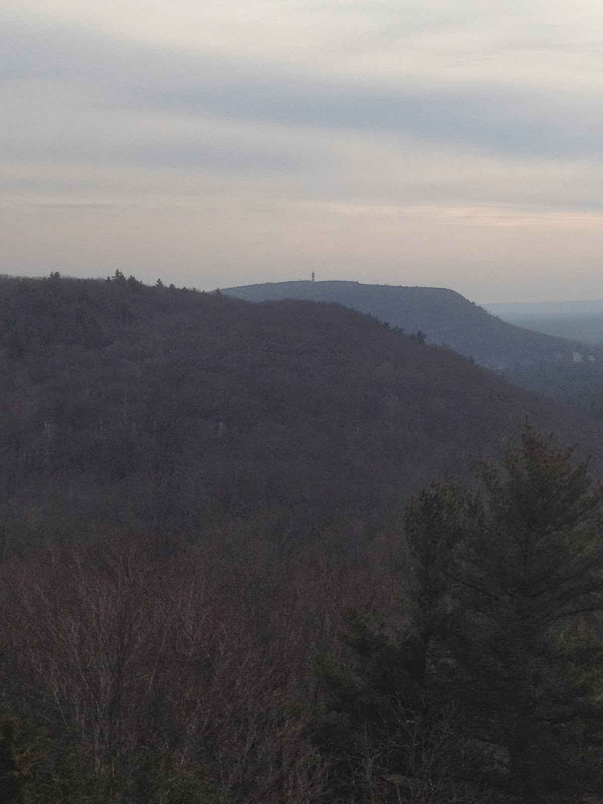
The view from the top was quite nice.
Off in the distance, we could see last hike's Talcott Mountain's Heublein Tower.
There was a fire ring which looked like it has seen recent use.
There was also remnants of a radio tower.
We eventually came to a board with a map of the next section of trail.
We passed a bunch more signs indicated the Bloomfield/Simsbury line.
We passed by one more Bloomfield/Simsbury sign as the trail descended to Mountain Rd.
Over all, this was a decent hike. It was much longer than expected (by 1.3 miles) but the elevation shifts were fairly minor and the trail was well marked.


No comments:
Post a Comment