|
This hike occurred on January 25, 2014
|
Trail Heads:
2867 Albany Ave., West Hartford, CT - on Albany Ave, there is a parking lot by the Metacomet trail head with space for 5-7 cars.
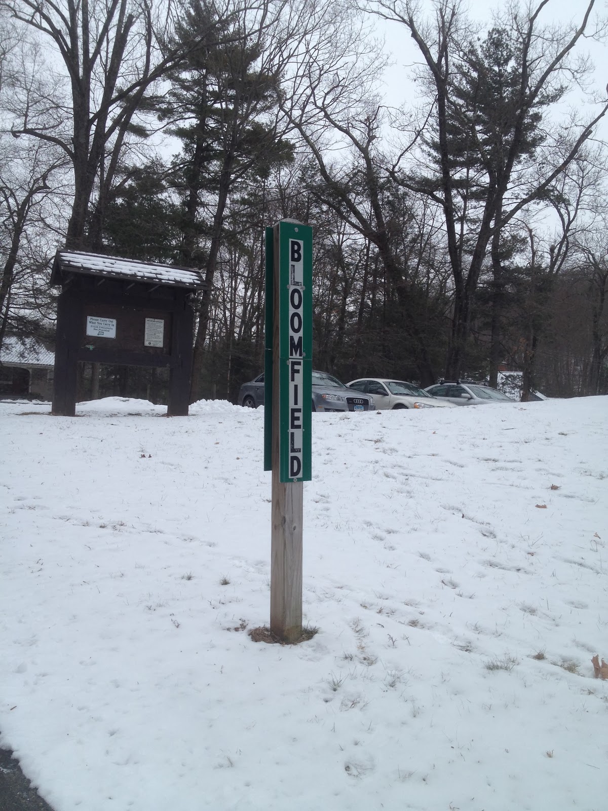
560 Simsbury Rd., Bloomfield, CT - At Penwood State Park, there are parking spaces for 8-10 cars and plenty of curbside parking as well.
Length/Distance: According the Connecticut Walk book, the route between the trail heads on Albany Ave and Simsbury Rd was 5.4 miles. According to my GPS tracking program, our route was 6.1 miles.
Summary: We hiked from Simsbury Rd towards Albany Ave. It was an overcast but warmer than previous days (low 30°s). We parked in the lot for Penwood State Park as the Metacomet travels through the park.
Penwood State Park is directly on the line between Bloomfield and Simsbury.
We headed across Simsbury Rd and towards Talcott Mountain and Heublein Tower.
The trail meandered through woods, crossing the same stream three or four times. It would have been a very swampy area but everything was frozen.
The trail began to ascend the mountain but did so in a fairly gentle fashion. There were no sharp steep climbs.
The pine trees were covered in snow and beautifully green.
We reached peak elevation while out in the woods maybe 10 minutes from the tower.
We hiked up to the tower. The composing bathrooms near the tower are open all year around which was helpful. The tower wasn't open and won't be until May.
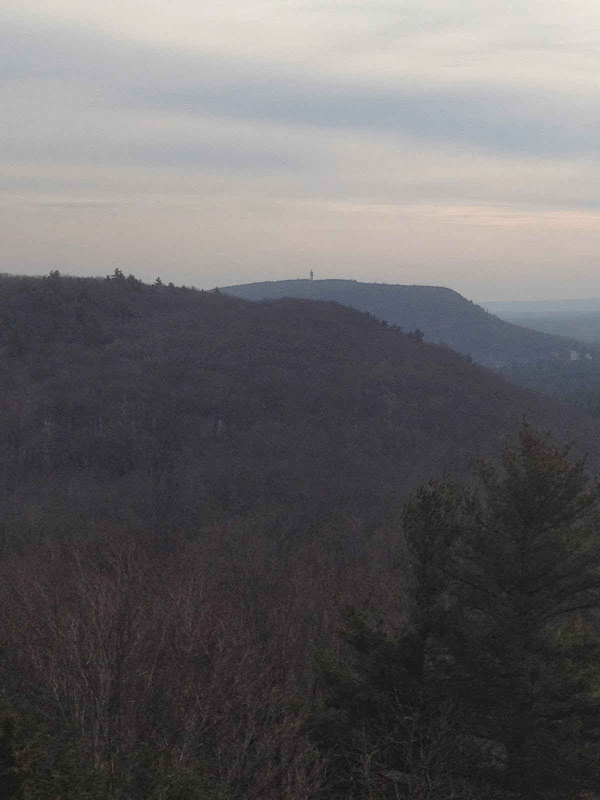
The views from the cliff were quite nice though the overcast sky left something to be desired.
From here, the trail traveled down towards the MDC's Reservoir #6.
We saw signs indicating that starting in March 2014, this section of Metacomet trail would be redirected due to the MDC's tree trimming project near the reservoir. Around this point of the hike, we began encountering snow flurries which continued for the remainder of the hike. The blue trail emerged near the top of the reservoir and followed the main track down to Reservoir #6's parking lot. The view of the reservoir was beautiful.
The geese were very vocal and were constantly making noise. This seemed to be THE gathering place for water fowl.
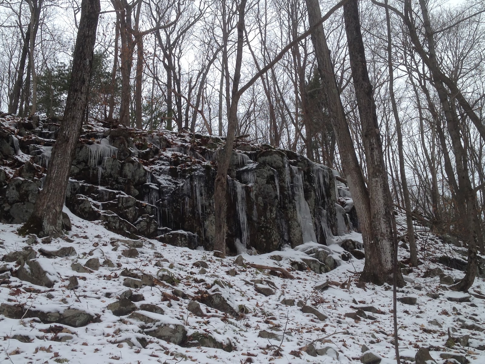
There was some neat ice forming by this creek.
While on the Reservoir #6 trail, we passed from Bloomfield into West Hartford.
We reached the parking lot of Reservoir #6.
We then realized the Metacomet turned right before the yellow barrier.
The trail lead us around the parking lot, straight to Albany Ave with the parking area across the road.
Overall, the hike was enjoyable and not too strenuous with rewarding scenery. After this hike, we only have 4-5 hikes left on the Metacomet.