Saturday, April 12, 2014

NY/NJ AT solo section hike, day 2

April 12, 2014


Start: Telephone Pioneer Shelter
End: RPH Shelter
Mileage: 16.8

I woke up at 6 am and was out hiking by 7am. I arrived at Morgan Stewart Shelter (7.8mi) at 10:15am and made it to RPH by 2:30pm. 
The morning started off wrapped in fog. The trees were dripping rain for the first few hours. 

Nuclear lake
The first sun sighting was at 9am. 
View from Hosner Mountain
 

I could have hiked further today but the next shelter is not within hiking distance for today. 

There were more hills than the guide had led me to believe but it wasn't really comparable to VT. Over the course of the day, I saw 5 day hikers and two NOBOs (north bounders). While here at the shelter, I met two trail workers and a few day hikers who had previously thru hiked. And it looks like I'll have some company tonight!

Friday, April 11, 2014

NY/NJ AT solo section hike, day 1

April 11, 2014

Start: CT/NY line, Hoyt Rd
End: Telephone Pioneer Shelter
Mileage: 10.0

A friend of mine was kind enough to drop me off at the CT/NY line around 3pm today. Despite the rain, I made good time and arrived at NY-22/Native Landscape/ AT train station (6.9mi) at 5:30pm. 
I ordered pizza and ate there on the covered porch of Native Landscape. 

 I then hiked another 2.1 miles to Telephone Pioneer Shelter, arriving at 7:15pm. Eating an entire pizza by yourself right before vigorously hiking is probably not recommended.
 

I'm currently dry and warm in the shelter in my sleeping bag (thanks for a great birthday present everyone).

Fun fact: I made cows stampede today. I never thought cows could be legit scary. I was wrong. Two dozen cows staring at you with exactly the same expression is creepy. And as I keep walking, they freak out and run around (not away from me but sometimes towards me). The thundering of cow hooves is loud and kinda scary, especially when they're running towards you.

Tomorrow should be nice and sunny. I'm looking forward to that!

Tuesday, February 11, 2014

Metacomet trail - Part 16

This hike occurred on February 8, 2014
Trail Heads:
56 Mountain Rd., Tariffville, CT - There are plenty of curbside spots along Mountain Rd. It's a lane-and-a-half quiet residential road so parking isn't a problem.

7 Holcomb St., East Granby, CT - We did not park here but we ended our hike here. It appears that there's a fair amount of parking available on the road's shoulder around the intersection.

Length/Distance: According the Connecticut Walk book, the route between the trail heads on Mountain Rd and Holcomb St/Turkey Hills Rd (Rt20) was 4.8 miles. According to my GPS tracking program, our route was 6.36 miles. 

Summary: We hiked from Mountain Rd towards Holcomb St. The day was sunny and in the low 30°s. the first portion of the hike was a road walk through Tariffville. 
The trail then entered the woods on the right, right after the bridge over the river. 
It had snowed a few days prior and there was 16-18 inches of snow on the trail. At the beginning, people had used snowshoes on the trail and the trail was partially packed down. 

The trail wound around the river. 
      
We then climbed to reach a ridge. Around the top, we saw an old fireplace. 
Near the peak, the snowshoers went off in a different direction and we were left to break trail for the remaining three-quarters of the hike. 
There was an overlook along the ridge.
We then slipped, slid, and fell our way down the ridge towards Hatchet Hill Rd. 
After crossing the road and walking underneath the power lines, we entered the woods again. There was a sign warning of construction. I would have been very glad to encounter a backhoe at this point. 
We passed by a cemetery restoration project.
We found a number of spots where it looked like deer had bedded down for the night. 
We climbed up to another ridge and then slid back down again. We trudged through a pine forest and it was beautiful.  
Well after the point where our clothes were soaked, we made it to Holcomb St. 


A friend of ours who lives nearby was generous enough to pick us up here and drive us to our car at East Granby Farms which is where we initially planned to finish. After this cold hike, we treated ourselves to an hour in a hot tub at Elements in Amherst, MA. 

Over all, the hike was rather miserable though we were proud we finished. The CT Walk book's mileage was off by over a mile and a half; we were not happy about this. Regardless, we should have only one last hike on the Metacomet trail (once the snow has melted a bit...)!  

Sunday, February 9, 2014

Metacomet trail - Part 15

This hike occurred on February 1, 2014
Trail Heads:
560 Simsbury Rd., Bloomfield, CT - At Penwood State Park, there are parking spaces for 8-10 cars and plenty of curbside parking as well.

56 Mountain Rd., Tariffville, CT - There are plenty of curbside spots along Mountain Rd. It's a lane-and-a-half quiet residential road so parking isn't a problem. 

Length/Distance: According the Connecticut Walk book, the route between the trail heads on Simsbury Rd and Mountain Rd was 5.3 miles. According to my GPS tracking program, our route was 6.6 miles.

Summary: We hiked from Simsbury Rd towards Mountain Rd. The day was overcast and in the high 20°s/low 30°s. We followed the blue blazes through Penwood and up to a ridge. The trail went by some ruins where people had piled up the rocks. 
The trail followed along the ridge and emerged near Lake Louise.
There was a display board with a map of the Penwood State Forest's portion of the Metacomet trail. 
The trail wound around Lake Louise and crossed from Bloomfield into Simsbury for the first time. Over the remainder of the trail, we crossed between Bloomfield and Simsbury six more times, with a sign to designate each one.
Right after this sign, the trail began a steep assent. The stone stairs were reminiscent of the Stairs of Cirith Ungol from Lord of the Rings. 
The view from the top was quite nice. 

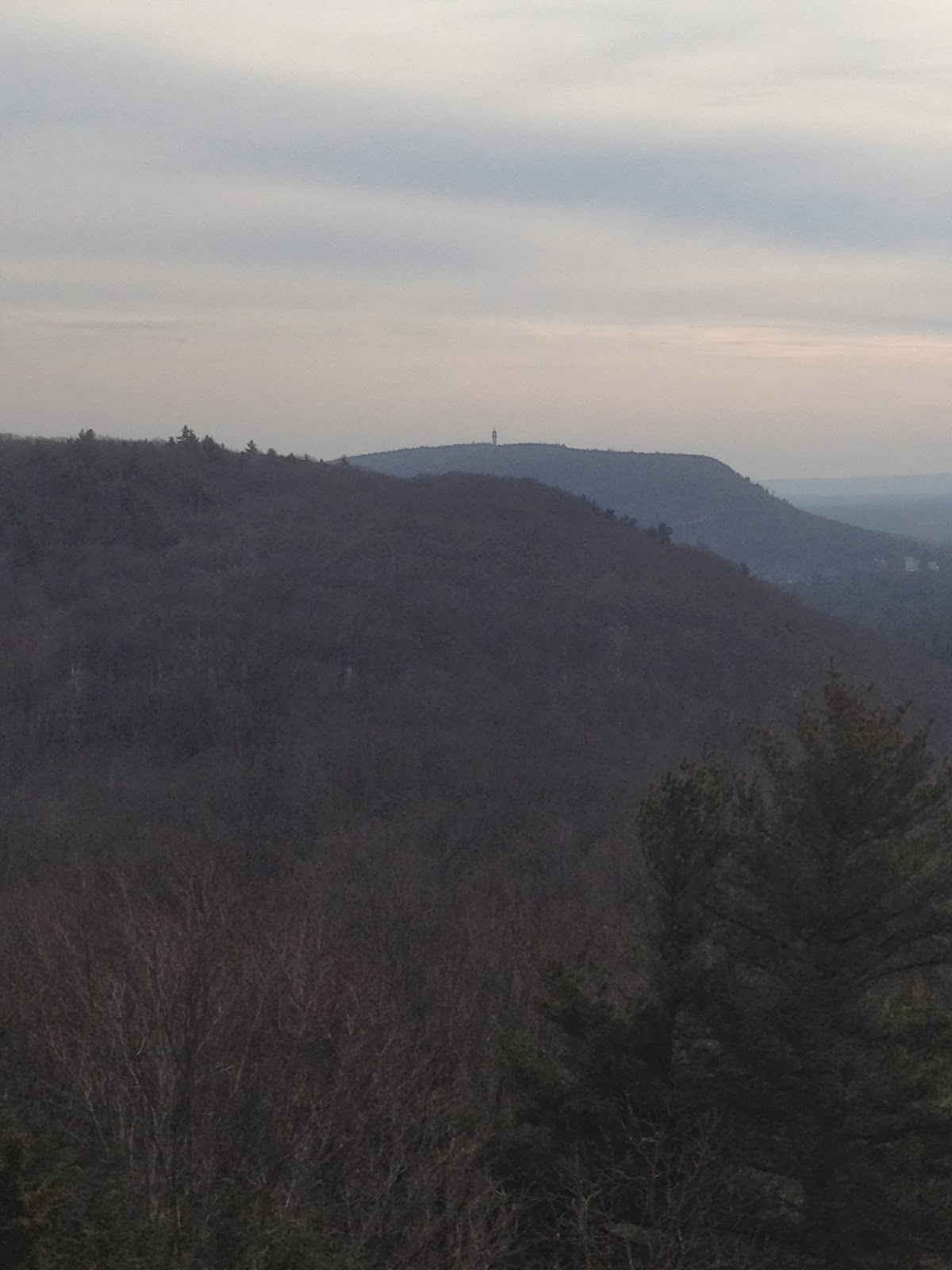
Off in the distance, we could see last hike's Talcott Mountain's Heublein Tower. 
There was a fire ring which looked like it has seen recent use. 
There was also remnants of a radio tower. 
We eventually came to a board with a map of the next section of trail. 
We passed a bunch more signs indicated the Bloomfield/Simsbury line. 

The trail passed by an old recreation tower/facility. 
We passed by one more Bloomfield/Simsbury sign as the trail descended to Mountain Rd. 

Over all, this was a decent hike. It was much longer than expected (by 1.3 miles) but the elevation shifts were fairly minor and the trail was well marked.