Showing posts with label Berlin. Show all posts

Tuesday, November 19, 2013

Metacomet trail - Part 9

This hike occurred on October 27, 2013
Trail Heads:
330 Long Bottom Rd., Southington, CT - We parked on Long Bottom Road at Roger's Orchard farm store. There is no roadside parking available at the trail head on Shuttle Meadow Road. 

600 Wigwam Rd., Berlin, CT - We parked on Wigwam Road by Ragged Mountain Preserve. 


Length/Distance: According the Connecticut Walk book, the route between the trail heads on Long Bottom Rd & Ragged Mountain was 3.0 miles. Including a portion of Ragged Mountain's trail system, according to my GPS tracking program, our route was 4.36 miles. 


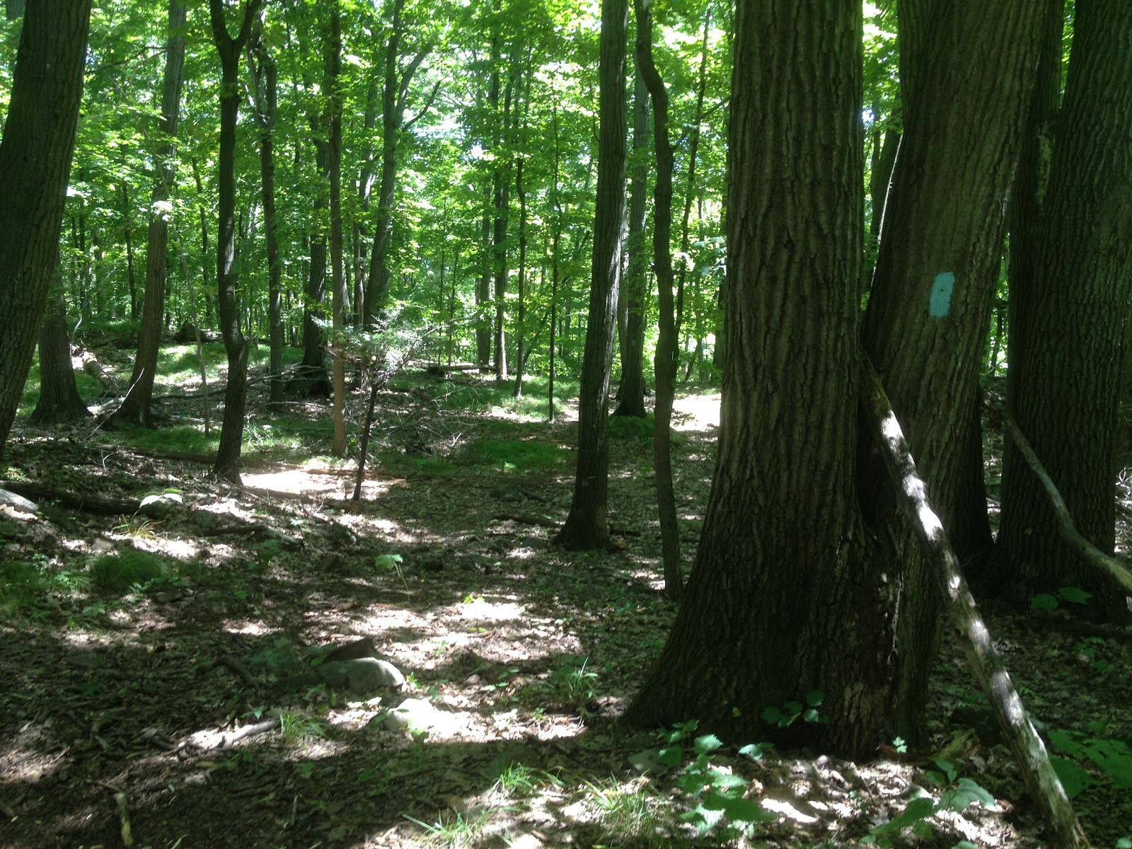
Summary: We started our hike from Roger's Orchard. We did a road walk for the first half mile or so. From there, we hiked into the woods and up to an overlook of Shuttle Meadow Reservoir. The trail then headed downward towards Ragged Mountain Preserve. The trail intersected with the trail system and we took Blue-Red trail out to Wigwam Rd. 

Tuesday, August 13, 2013

Metacomet trail - Part 7


This hike occurred on August 6 & 11, 2013
Trail Heads:
620 Edgewood Rd, Berlin, CT - Parking: On the side of Edgewood Road, there is parking for around half a dozen cars to park off-road. 

650 Southington Rd, Berlin, CT - Parking: On the side of Southington Rd, there's space to park maybe 1-2 cars. There are no signs prohibiting it but it isn't an optimal spot. 

Length/Distance: For the first hike, according the Connecticut Walk book, the route between the trail heads on Edgewood Rd & Southington Rd was 1.4 miles. According to my GPS tracking program, our route on August 6 was 2.35 miles which was a there-and-back road walk. For the second hike, we followed the blue trail from the Edgewood trail head back towards Hubbard Park to find where we lost the trail last week. According to my GPS tracking program, our route on August 11 was 3.9 miles which was a there-and-back hike. 

Summary: The road walk on August 6 was uneventful. We began our backtrack hike on August 11 from Edgewood Rd.
 We went past the gate and up the wide trail. 
There were many bees feasting on wildflowers like purple and white Chicory (Cichorium intybus) and Larger Bur-marigold (Bidens laevis). 


We also saw some Cicada (Cicadidae cicada) holes.
 Across the trail, there was a gigantic spider, carrying a snack sack along with it. Unfortunately, the camera couldn't focus on it properly. 
Initially, we missed this turn off of the trail. The main path continued on and the tree was a bit off the path. 
This portion of trail was entirely uphill. There were sections of loose rock to scrabble over.  
The trail went over the pipeline area and it was quite overgrown. The trail looked like a tick convention (path is dead center of the picture). 
Looking back, it might be difficult to find the trail. You can see the trail marker on the tree in the shadows. 
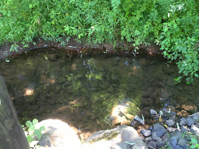
There was a tiny little stream along the way.
After a bit of climbing, we found the spot where the trail split. The trail was marked but indicated the turn much too early. A tree on the left indicated a turn to the right as the path curved around. I recall thinking whoever marked the trail was a bit overzealous as it was obvious the main path turned. But it so happens that the trail goes straight ahead from the turn marker, while the main path turns to the left.  
And in all fairness, it wasn't much of a path. It was much more "blue trail" though.  
During the August 11 hike, we did see two different Eastern Ratsnakes along the trail sunning themselves; they moved out of our way as we hiked through. Overall, both hikes occurred on beautiful days. It was a relief to finish the August 11 hike so we can begin to hike forward without having to deal with Hubbard park's time table. 

Monday, July 22, 2013

Metacomet Trail - Part 2

This hike occurred on July 17, 2013
Trail heads:
960 Orchard Rd., Berlin, CT - Parking: Technically, there isn't any parking though there is space on the side of the road to fit one car off the road.
2190 Chaimberlain Highway, Berlin, CT - Parking: Originally, we were going to park on Victoria Dr where the trail crosses it, as shown on Google Maps. However, it turns out that Victoria Dr is a closed dirt road with large metal gates blocking its entrance. So instead, we ended up parking off of Chaimberlain Highway, by a farm's greenhouses. We saw the above sign indicating the Metacomet trail was accessible from there. So we traveled down past the greenhouses, found the trail head, and hiked from here.     
Length/Distance: According the Connecticut Walk book, the route was 1.4 miles. According to my GPS tracking program, our route was 2.8 miles. However, we did travel at least 1/2 mile on the Berlin blue-diamond trail, as well as traveling down Summit Wood Drive for perhaps 1/2 mile.
Summary: We began our hike on the Town of Berlin's blue-diamond trail. The trail crossed by a mucky creek and then began to climb upward. 
The blue-diamond trail was very well marked and easy to follow, though we agreed that had we known this parking area lead to a connector trail, we wouldn't have hiked from there. After over half a mile of uphill hiking, the trails met. 
We followed the Blue trail from there. It paralleled Summit Wood Dr until right after the power lines.
We had a hard time finding the trail after it crossed under the lines. We eventually found it, on the right hand side. 
It was NOT easy to see; the blue blaze had been covered by foliage. Better marking is recommended. As you can see in the picture, there was a dirt track worn into the trail. This continued for a tenth of a mile or two and then the blue trail takes an abrupt left; don't miss it. 
Not long after this, it became too dark to take many pictures. Thanks to previous experiences, we had a few flashlights in our packs. It was a testament to the fact that this section of the trail was well marked in the woods portions (connections between woods and roads not as much). We were able to follow the trail using flashlights which meant that most blazes were within line-of-sight of the next one. We did encounter a number of huge (apricot sized) spiders spinning person-sized webs across the trail.
 
In general, it was a decent hike. We were hiking later in the day due to a heat advisory and it was cooler in the evening. The blue trail markings were sufficient to find our way, though the entrance into the woods off of Summit Wood left a lot to be desired. It was very frustrating trying to find parking areas; the New England Trail website says there's parking on Summit Wood but there isn't. You can park on the side of the road as it's residential but there is no area near the blue trail that offers parking on the shoulder. For our next  hike, we'll be hiking to/from the end of Summit Wood Dr.   

Friday, July 19, 2013

Metacomet Trail - Part 1

This hike occurred on July 16, 2013
Trail heads:
960 Orchard Rd., Berlin, CT - Parking: Technically, there isn't any parking though there is space on the side of the road to fit one car off the road. We hiked from here.

20 Spruce Brook Rd., Berlin, CT - Parking: This is not technically a parking area. However, the Metacomet trail starts on the other side of Rt-5/15 so we parked in the lot of Turnpike Wine & Spirits.
Length/Distance: According the Connecticut Walk book, the route was 1.9 miles. According to my GPS tracking program, our route was 2.08 miles.
Summary: We started from Orchard Road and traveled along Orchard until it ended at Rt-5/15. The Blue markings were sparse to non-existent along this section of the Metacomet. 

The CT Walk book's directions were also somewhat confusing though the New England Trail's interactive map was very helpful. We did see an Eastern Cottontail rabbit (Sylvilagus floridanus).  
Given this week's heat advisory, we waited to hike until after 7pm. We finished up our hike as the sun set. Despite the late time, it was still in the mid-80's for our hike.  

Thursday, May 31, 2012

Ragged Mountain Preserve

Ragged Mountain
We began this section on April 21, 2012 and finished May 11, 2012
We hiked all of the Red Dot, White Dot, 
Green Dot, Blue-Red, Blue-Yellow, and Blue trails

Trail Head: The trail head for this section is located at West Lane & Wigwam Rd, Kensington, CT. There is a lot of roadside parking located near the trail head. Even on busy days, there has always been parking available. 

Length/Distance: It varies depending on which trails you decide to take. An excellent resource for maps is located on the Berlin Land Trust's website. One hike that we did was Blue-Red to Blue to Blue-Red. That looped hike was approximately 7-8 miles and took us about 3 hours. Here is my route for a shorter hike we did.  


Summary: This area is quite beautiful. There are many different cliffs with gorgeous views of lakes and other mountains. You can see the Hart Lakes, Wassel Reservoir, Meriden and Talcott Mountains, and the UConn Health Center from different lookout points on the Blue trail. However, I would caution anyone hiking there to be wary of poison ivy. I have only just recovered from a bout of poison ivy that I got from hiking at Ragged Mountain after losing the trail (Tecnu and Calagel are great stuff). If you go straight at the trail head to wrap around the right side of the mountain on the Blue-Red, make sure to follow only clearly marked trails. There were a number of trails that seemed to go in the proper direction but were not clearly marked as being any color trail that dead-ended in the middle of a swamp. The maps of the area are helpful but don't appear to have been updated. The color markers have changed on some of the trails and there are many more cleared trails than are shown on the map. Also keep in mind that many streams intersect with the trails and overflow, causing very muddy conditions. Expect to wear boots if it's rained in the past week.   
On the trail, we did see a 5-foot-long Eastern Ratsnake (Pantherophis alleghaniensis) sunning itself on a rock. This variety of snake is quite harmless. A listing of CT snakes with helpful pictures is available here. We also encountered many ticks; this area seems to have a LOT of them, both Dog and Deer ticks.