|
| This hike occurred on February 8, 2014 |
56 Mountain Rd., Tariffville, CT - There are plenty of curbside spots along Mountain Rd. It's a lane-and-a-half quiet residential road so parking isn't a problem.
7 Holcomb St., East Granby, CT - We did not park here but we ended our hike here. It appears that there's a fair amount of parking available on the road's shoulder around the intersection.
Length/Distance: According the Connecticut Walk book, the route between the trail heads on Mountain Rd and Holcomb St/Turkey Hills Rd (Rt20) was 4.8 miles. According to my GPS tracking program, our route was 6.36 miles.
Summary: We hiked from Mountain Rd towards Holcomb St. The day was sunny and in the low 30°s. the first portion of the hike was a road walk through Tariffville.

The trail then entered the woods on the right, right after the bridge over the river.

It had snowed a few days prior and there was 16-18 inches of snow on the trail. At the beginning, people had used snowshoes on the trail and the trail was partially packed down.

The trail wound around the river.


We then climbed to reach a ridge. Around the top, we saw an old fireplace.

Near the peak, the snowshoers went off in a different direction and we were left to break trail for the remaining three-quarters of the hike.

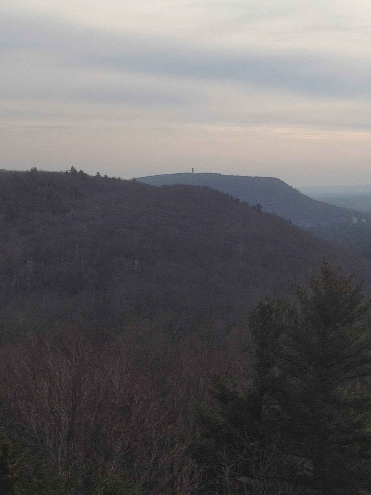
There was an overlook along the ridge.

We then slipped, slid, and fell our way down the ridge towards Hatchet Hill Rd.

After crossing the road and walking underneath the power lines, we entered the woods again. There was a sign warning of construction. I would have been very glad to encounter a backhoe at this point.

We passed by a cemetery restoration project.


We found a number of spots where it looked like deer had bedded down for the night.

We climbed up to another ridge and then slid back down again. We trudged through a pine forest and it was beautiful.

Well after the point where our clothes were soaked, we made it to Holcomb St.


A friend of ours who lives nearby was generous enough to pick us up here and drive us to our car at East Granby Farms which is where we initially planned to finish. After this cold hike, we treated ourselves to an hour in a hot tub at Elements in Amherst, MA.
Over all, the hike was rather miserable though we were proud we finished. The CT Walk book's mileage was off by over a mile and a half; we were not happy about this. Regardless, we should have only one last hike on the Metacomet trail (once the snow has melted a bit...)!