 |
| Hike occurred on November 8th & 9th, 2013 |
Vermont Appalachian Trail section hike
By "Timex"
Friday, November 8th:
VT-9, Woodford, VT to Story Spring Shelter
19.0 total miles for the day - rough map completed after the fact
Mountains climbed: Porcupine Lookout (2815 ft), Little Pond Mountain (3100 ft), Glastenbury Lookout (2920 ft), Glastenbury Mountain (3748 ft)
Summary: I parked my car by the Bennington Town Offices after obtaining a parking permit from the town manager's office. I then was able to hitch a ride three miles up VT-9 to the trail head. I started the hike from the USFS parking lot on VT-9 (Molly Stark Trail) at 8:00am. It was lightly snowing when I started my hike. As I climbed, it began snowing in earnest. The view from the first lookout showed just how much ice and snow had accumulated on the trees. I passed a day hiker around here.

Porcupine Lookout

Campfire at Porcupine Lookout

Little Pond Lookout

View from lookout near Glastonbury Mountain
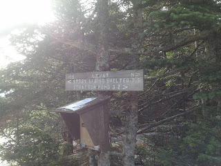
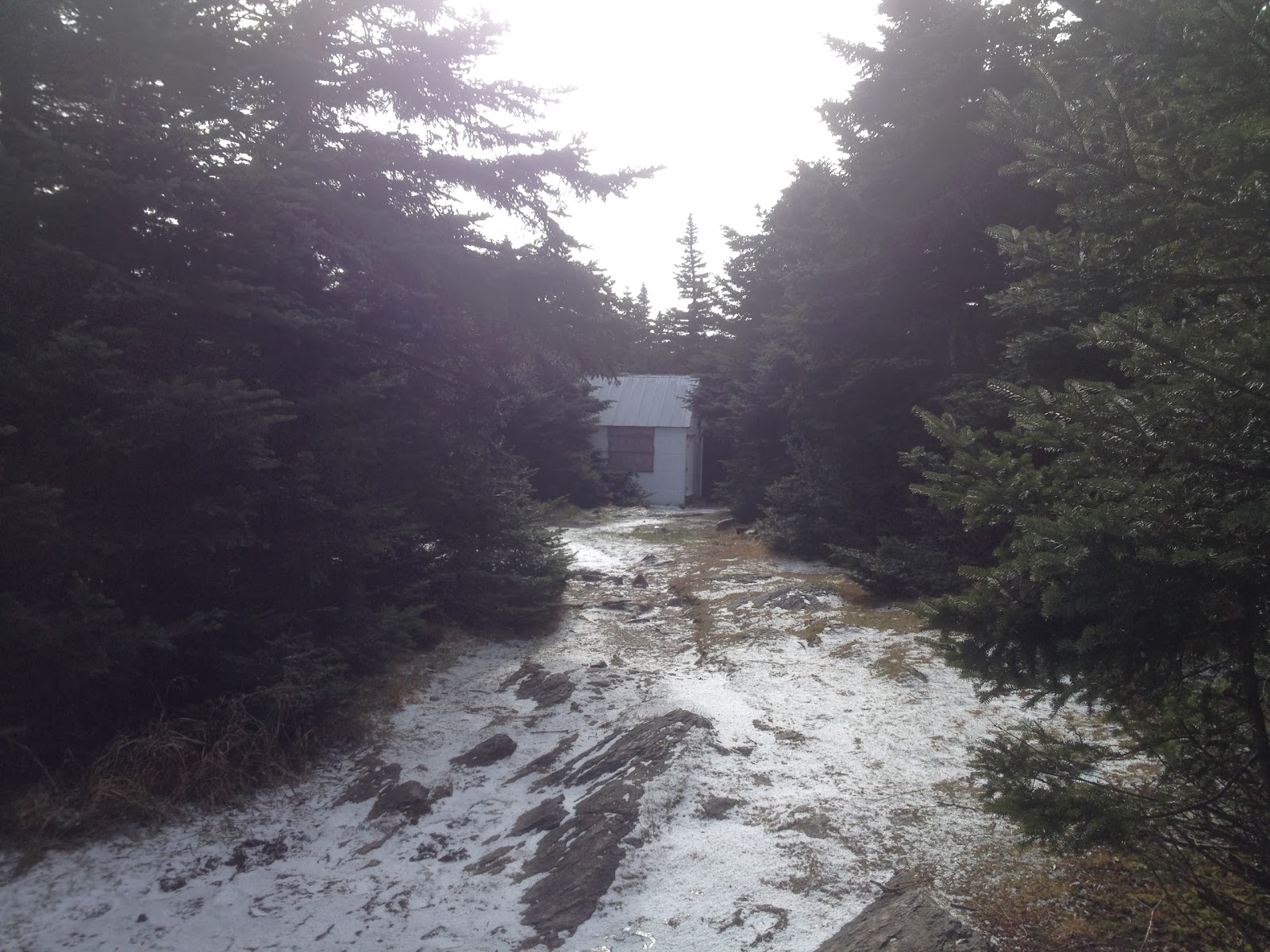
By the time I reached Goddard Shelter halfway through my day's hike, the snow had accumulated 2-3 inches and visibility was very poor. Right after I left the shelter, I almost ran into the rear end of a huge moose. It trotted up the trail, leaving gigantic footprints in the snow. I hiked through the snow for quite a while and reached Story Spring Shelter at 4:50pm. I quickly make dinner and bedded down for the night; including the windchill factor, it got down to approximately 15 degrees that night. I slept from 6:30pm until 6:15am.

View from Story Spring Shelter


Saturday, November 9th:
Story Spring Shelter to VT-11/30
21.1 total miles for the day - rough map completed after the fact
Mountains climbed: Stratton Mountain (3936 ft)
Summary: I got up around 6:15am, stuck my feet into icy, frozen boots, and hit the trail by 7am. It took about an hour of hiking before I could feel my feet again. I realized quickly that I'd made a mistake in not putting my water filter inside my sleeping bag; it was frozen and wouldn't filter water. It took about two hours of being in direct contact with my skin before it began to function again. After climbing for two hours, I reached the top of Stratton. At the top of Stratton Mountain, there was a fire tower (and a TON of wind).


While you can climb the tower, the top platform was not open. The view from the stairs was pretty impressive though.

From Stratton, you can see Killington Peak, Mt Ascutney, Mt Monadnock, Mt Snow, Glastenbury Mt, and the Taconics.

View of Somerset Reservoir and Mt Snow from Stratton

View of Killington Peak

View of Stratton Pond and Mt Ascutney, one of the most popular overnight spots on the AT
On the way down the mountain, I encountered two day hikers; I also pass by two section hikers on the logging road. From Stratton onward, it was mostly downhill. I was able to make very good time and passed by Spruce Peak Shelter's side trail around 2:45pm and arrived at VT-11/30 at 4pm.


I was able to hitch a ride after about 15 minutes. I was very lucky to be picked up by an older gentleman who was heading to Bennington anyway (~30 miles). He stopped at McDonald's, bought me a coffee, and refused to take any money I offered him. I arrived at my car by 5pm and headed home! Given the weather report I saw today, it was a good choice to shorten my hike. It looked like that section of Vermont will be getting more snow and rain today and tomorrow.
Vermont Appalachian Trail section hike
By "Timex"
Friday, November 8th:
VT-9, Woodford, VT to Story Spring Shelter
19.0 total miles for the day - rough map completed after the fact
Mountains climbed: Porcupine Lookout (2815 ft), Little Pond Mountain (3100 ft), Glastenbury Lookout (2920 ft), Glastenbury Mountain (3748 ft)
Summary: I parked my car by the Bennington Town Offices after obtaining a parking permit from the town manager's office. I then was able to hitch a ride three miles up VT-9 to the trail head. I started the hike from the USFS parking lot on VT-9 (Molly Stark Trail) at 8:00am. It was lightly snowing when I started my hike. As I climbed, it began snowing in earnest. The view from the first lookout showed just how much ice and snow had accumulated on the trees. I passed a day hiker around here.
 |
| Porcupine Lookout |
 |
| Campfire at Porcupine Lookout |
 |
| Little Pond Lookout |
 |
| View from lookout near Glastonbury Mountain |
By the time I reached Goddard Shelter halfway through my day's hike, the snow had accumulated 2-3 inches and visibility was very poor. Right after I left the shelter, I almost ran into the rear end of a huge moose. It trotted up the trail, leaving gigantic footprints in the snow. I hiked through the snow for quite a while and reached Story Spring Shelter at 4:50pm. I quickly make dinner and bedded down for the night; including the windchill factor, it got down to approximately 15 degrees that night. I slept from 6:30pm until 6:15am.
 |
| View from Story Spring Shelter |


Saturday, November 9th:
Story Spring Shelter to VT-11/30
21.1 total miles for the day - rough map completed after the fact
Mountains climbed: Stratton Mountain (3936 ft)
Summary: I got up around 6:15am, stuck my feet into icy, frozen boots, and hit the trail by 7am. It took about an hour of hiking before I could feel my feet again. I realized quickly that I'd made a mistake in not putting my water filter inside my sleeping bag; it was frozen and wouldn't filter water. It took about two hours of being in direct contact with my skin before it began to function again. After climbing for two hours, I reached the top of Stratton. At the top of Stratton Mountain, there was a fire tower (and a TON of wind).


While you can climb the tower, the top platform was not open. The view from the stairs was pretty impressive though.
 |
| From Stratton, you can see Killington Peak, Mt Ascutney, Mt Monadnock, Mt Snow, Glastenbury Mt, and the Taconics. |
 |
| View of Somerset Reservoir and Mt Snow from Stratton |
 |
| View of Killington Peak |
 |
| View of Stratton Pond and Mt Ascutney, one of the most popular overnight spots on the AT |
On the way down the mountain, I encountered two day hikers; I also pass by two section hikers on the logging road. From Stratton onward, it was mostly downhill. I was able to make very good time and passed by Spruce Peak Shelter's side trail around 2:45pm and arrived at VT-11/30 at 4pm.


I was able to hitch a ride after about 15 minutes. I was very lucky to be picked up by an older gentleman who was heading to Bennington anyway (~30 miles). He stopped at McDonald's, bought me a coffee, and refused to take any money I offered him. I arrived at my car by 5pm and headed home! Given the weather report I saw today, it was a good choice to shorten my hike. It looked like that section of Vermont will be getting more snow and rain today and tomorrow.
No comments:
Post a Comment