 |
| We began and ended this hike on June 1, 2012 |
Trail Heads:
85 River Rd., Killingworth, CT - Parking: across the street from the trail head, there is parking for 2 cars. The road is very quiet and doesn't see much traffic, though what traffic there is tends to drive very fast. Be wary of drivers not paying attention.
499 North Branford Rd. (Rt. 80), Killingworth, CT - Parking: at the trail head, there is parking for 3-5 cars, depending on how well people park. This small parking area is on a curve of Rt 80 so be very careful when pulling into and out of this lot. People drive Rt 80 going 65 MPH on a regular basis and the visibility is poor leaving the parking lot.
Length/Distance: The route we went on was listed as being 3.8 miles. Here is my route. According to GPS, it was actually 4.18 miles long.
Summary: This was a decent through-hike. We began at Rt 80 and hiked south to River Rd. At first, the scenery wasn't very interesting. After we continued down the trail for a mile or so, we came to a series of rock ledges that the trail snakes down and around. At one point, our dog had to be picked up and carried down a small piece of the trail because the drop was too substantial and there was no way around.

A bit after that, we came to an access road and the trail follows it for a little bit. As the trail transitioned from road to trail, there was a very nasty area of mud and muck. Make sure to utilize the rocks to cross this area....though if you have a dog, they probably won't. Mine didn't. ^_^

This is where the trail became awesome! I have a love of cliffs and, more importantly, caves. This trail would have been boring without these but with them... I might actually think about hiking it again. The huge rocks were amazing!

There was some massive rocks that had broken off from the main cliff and created caves.

I was like a small child in a candy store!

Growing up, perhaps I read too many survival-oriented fiction novels like My Side of the Mountain, Moccasin Trail, or Sign of the Beaver. But these caves and cliffs made me want to run away into the woods....except for all the mosquitoes in the nearby swamp.
The trail also takes you right by Deer Lake Camp's Lean-to sites. These were very cool, especially since it was early enough in the season that it wasn't milling with small children. Later in the season, it might not be so quiet. I believe Deer Lake also takes their campers for hikes so this trail might see more foot traffic during summer camp sessions.
The trail also takes you right by Deer Lake Camp's Lean-to sites. These were very cool, especially since it was early enough in the season that it wasn't milling with small children. Later in the season, it might not be so quiet. I believe Deer Lake also takes their campers for hikes so this trail might see more foot traffic during summer camp sessions.
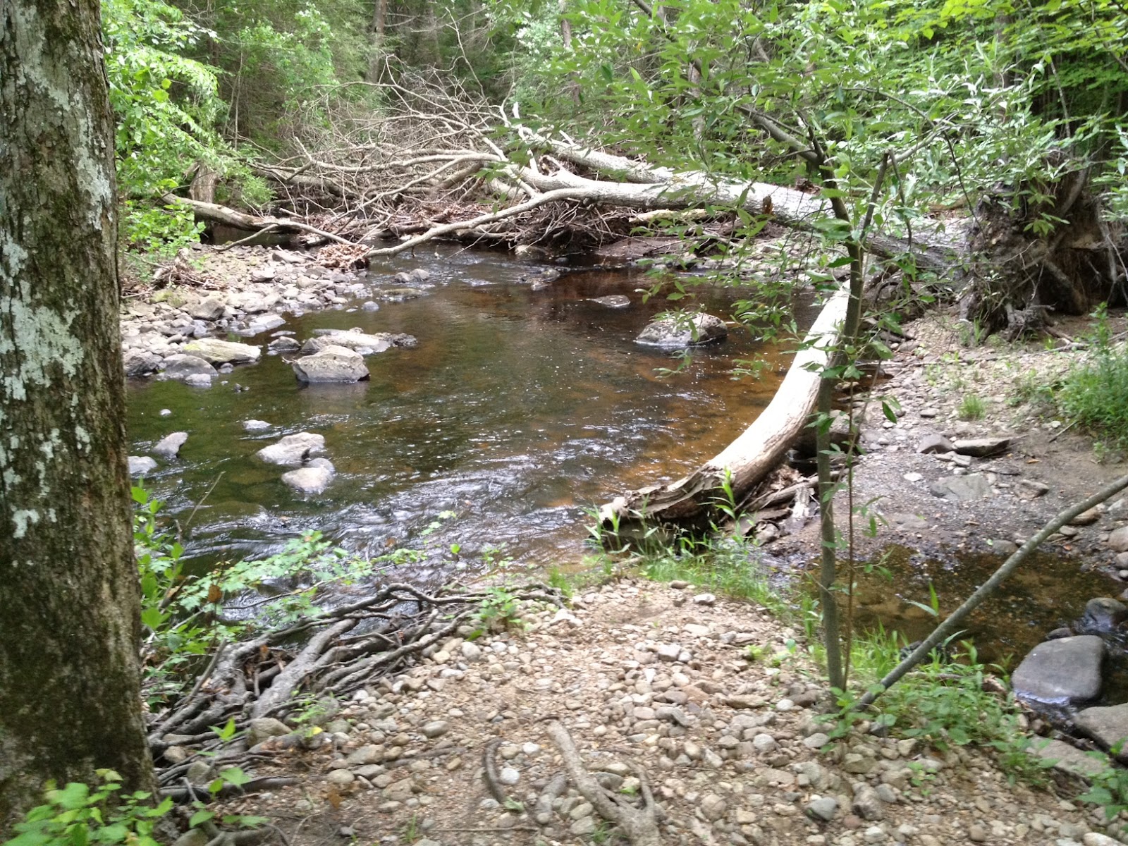
On the hike, we saw some frogs, millipedes, and birds. We also saw a lot of Mountain Laurel. Towards the end of the trail, there was a Mountain Laurel forest where the trail walked through this enchanting archway made entirely of Mountain Laurels. It was quiet and mysterious, with the sound of a bubbling brook in the background.

One other thing to note: near the end of the trail close to River Rd., there was a lot of barbed wire near the trail, between the trail and the river. Be careful and if you do get scratched, make sure you're up on your tetanus shot (booster shot every 10 years). As far as blue marks go, this trail was pretty straightforward. At the very beginning of the trail, it was somewhat difficult to find the blue trail, as the main trail is a shortcut/side trail. There weren't any issues with staying on the trail.
No comments:
Post a Comment