Friday, July 26, 2013

Metacomet trail - Part 3

This hike occurred on July 21, 2013
Trail heads:
100 Summit Wood Dr., Berlin, CT - Parking: After our last hike, we decided to park on the side of the road on Summit Wood Drive. There were signs posted near the cul de sac saying "no parking beyond this sign" but there was plenty of space to park on the curb and the road was very quiet since it's a dead end. 

400 Park Dr., Berlin, CT - Parking: While the CT Walk book, the New England Trail website, and the Town of Meriden's website all state that Castle Craig has an auto road providing access to the East Peak from May 1st through October 31st from 10:00 a.m. to 4:45 p.m., it so happens they are all wrong. We attempted access via Hubbard Park Dr and Notch Rd prior to Park Dr and the roads were all blocked off with signs saying both "road closed" and "gate open 10am-4:45pm between May 1-Oct 31." We parked on Park Dr back beyond the "no parking beyond this sign." It was maybe a few tenths of a mile to walk in but it put us right where we needed to be. If you park here, just be mindful of the signs.     

Length/Distance: According the Connecticut Walk book, the route was 2.9 miles. According to my GPS tracking program, our route was 3.5 miles. 

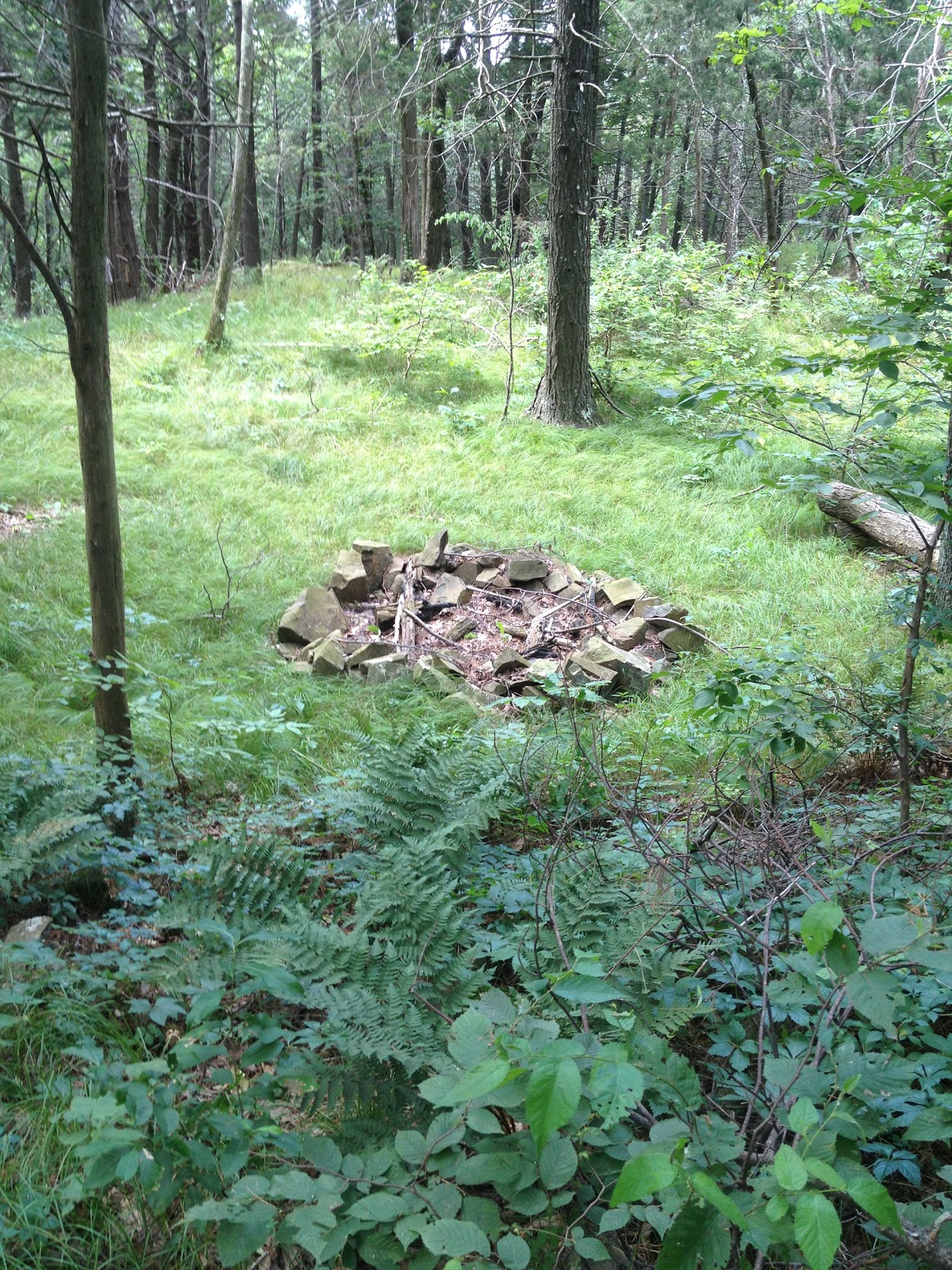
Summary: We began our hike from Park Drive. We followed the road up to the gate (the blue trail goes to the left by the gate, btw). 
We went beyond the gate to get some pictures of the Merimere Reservoir. 
We backtracked to the gate, where the blue markings lead away from the reservoir back towards Chamberlain Highway. 
On the side of the trail, we saw what appears to be Common Selfheal/healall (Prunella vulgaris). It is in the mint family and apparently edible.
This section of the trail followed along what might have once been a creek bed. The trail was comprised of loose, unstable rocks. 
Soon after this, the trail opens up onto Elmere Reservoir. It was beautiful.  
The water tower had quite a lot of graffiti on it but looked nice from a distance. 
The pump house had a lot of razor wire (also known as barbed tape) surrounding it to discourage would-be trespassers. 
In the corner of the meadow, near where the trail reenters the woods, there was a large bush of American Red Raspberry (Rubus idaeus) with ripe berries. 
 
There was also some ripe Lowbush Blueberries (Vaccinium angustifolium) as well. 
After a bit more hiking, we passed over Chamberlain Highway; the blue trail was straight across the road and easy to see. Right after the highway, we crossed Cathole Brook.  
There was an entertaining blank sign board on the trail after the road crossing. 
The next section of trail had an assent and lots of spider webs. Ironically, I thought this section of the trail was some of the more dangerous we've hiked. When hiking near cliffs, it's fairly obvious the danger and how to avoid it. Here, the trail was very narrow and uneven with layer upon layer of unstable rocks with a sharp drop off to the left and more than once, we had the trail crumble away at the edges and fall down the hill. 
The trail was fairly well marked until the end of the section when the blazes just died out and the trail was overrun with grass and other plants. This is where the trail enters the woods from the Victoria Drive side. Note the blue blaze on the tree to the left. 
Victoria Drive may once have been a through road but is not longer, regardless of what Google Maps may tell you. 
From here, we walked up the road, though there were absolutely no blue blazes. The surrounding area was very nice, though the summer sounds were punctured with roars of half a dozen dirt bikes. 
This area was full of flowers and blossoms. We saw Early Goldenrod (Solidago juncea) [link has amazing guide to identifying different types of Goldenrod]. 
We also saw Black-eyed Susans (Rudbeckia hirta).
There was a pink flower, perhaps a Small Wild Bean (Strophostyles leiosperma).  
There was also Common Daisies (Chrysanthemum leucanthemum).
Up the road, there is an intersection with another road spur, though Victoria Drive continues straight (picture is taken looking backward). 
On the upper right hand side of this intersection, we saw blue blazes on a few trees. 
We followed them into the woods. 
That tree directed us to the next trail marker. 
And then there were no more. This area needs the markings removed or covered. It was very confusing to have blue marks remaining when the trail did not travel this way anymore. We tried to follow what we thought was the trail for a bit and found a huge patch of American Red Raspberry (Rubus idaeus) growing on a trap rock incline. 

There were also unripe Fox Grapes (Vitis labrusca). 
After nomming on lots of raspberries, we bushwhacked our way back to the road through 7-8 foot high prickers, grass, and vines. From here, we walked further up Victoria Drive until we saw the blue trail split off to the left. The blue arrow was hard to see through all the foliage.  
From here, the trail was easy to follow though the bugs got really bad on this part of the trail for some reason. 
There was also a large fire ring that someone had made. It appears that people camp out here. 
From here, it was a fairly short hike back to the dead-end of Summit Wood Drive. Right near our parking spot, there was a large patch of American Red Raspberry (Rubus idaeus) so we went raspberry picking! 

Overall, this hike wasn't difficult physically. The temperature was in the mid-80's and it was sunny with fairly low humidity. The parking and road closure issues were more frustrating than anything else. The lack of trail markings (or trail markings that were not actually the trail) along Victoria Dr was also an issue. 

No comments:

Post a Comment