 |
| This hike occurred on July 27, 2013
Trail Heads:
400 Park Dr., Berlin, CT - Parking: Given our past experience with the auto road, we initially assumed we would not be able to access the peak inside Hubbard park by car so we parked on Park Dr back beyond the "no parking beyond this sign." We walked to the gate and were very aggravated to see cars and motorcycles riding up the auto road. So we turned around, got in our car, and drove 10 minutes around the park to enter via the auto road. We had a friend pick us up from this location at the end of our hike and bring us back to our car. On this road, we saw some awesome Castle Crashers art.

Peak Dr., Meriden, CT - Parking: Using the Hubbard Park auto road, we parked at the top of the Hanging Hills' East Peak, near Castle Craig.
Length/Distance: According the Connecticut Walk book, the route was 1.1 miles. According to my GPS tracking program, our route was 1.8 miles. After much deliberation, we've come to the determination that we think the Connecticut Forest & Park Association measures trail distance according to 2D maps, not the actual 3D mileage.
Summary: We began our hike from Peak Drive and the turret.

There were some beautiful views from the top of Castle Craig.
 
You could see a clear view of Sleeping Giant State Park in the distance (giant's head to the right with the feet to the left).

There was a good view of Mirror Lake.

After taking pictures, we headed out on the blue trail. If you head out from the turret, the trail is on your right a few hundred yards away. The blue trail crosses over the white trail and then has more amazing views. As we were looking at the view, we realized that an inventive Eastern Ratsnake (Pantherophis alleghaniensis) was sunning itself in an evergreen bush around shoulder height and we had disturbed it (its head is dead center of the photo).

There was also an interesting chasm between two cliffs.

Along this trail, there were amazing views of the Merimere Reservoir.

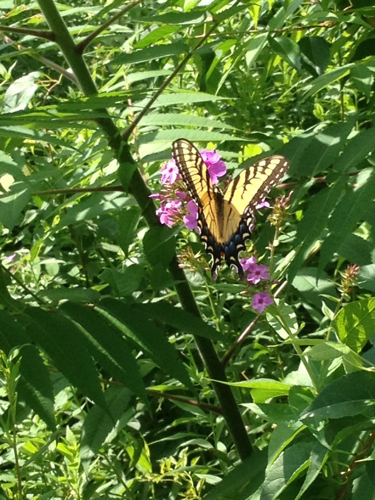
There was also a proliferation of ripe American Red Raspberry (Rubus idaeus) along the trail.

The trail passed over an old stream bed that had run over rock.

The trail emerged onto the auto road to pass by the base of the Merimere Reservoir.
       Overall, the hike was fairly short and mostly downhill. The parking/road situation around Hubbard Park is very frustrating, given the inconstant accessibility. Since the next section of trail climbs one of the highest peaks on the Metacomet trail (West Peak - 1,024 ft elevation), we'll be splitting it into two hikes. |
Wednesday, July 31, 2013
Metacomet trail - Part 4
Subscribe to:
Post Comments (Atom)
No comments:
Post a Comment